Installation
First launch
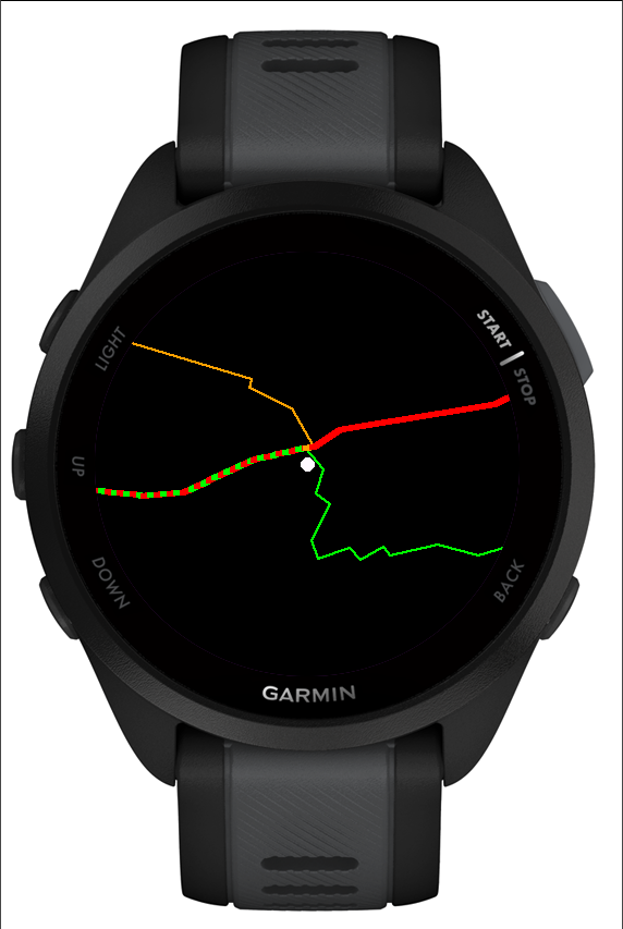
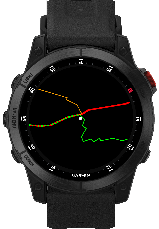
On launch the app looks for a GPS signal (usually a few seconds to under a minute outdoors). Once it gets a fix, it loads the trails for your area and draws the map.
On the next launch the app immediately shows the last known position saved on the watch, before GPS gets a fresh signal.
On-screen messages
Finding the way…
The app is waiting for a first GPS fix. Go outside with a clear view of the sky.
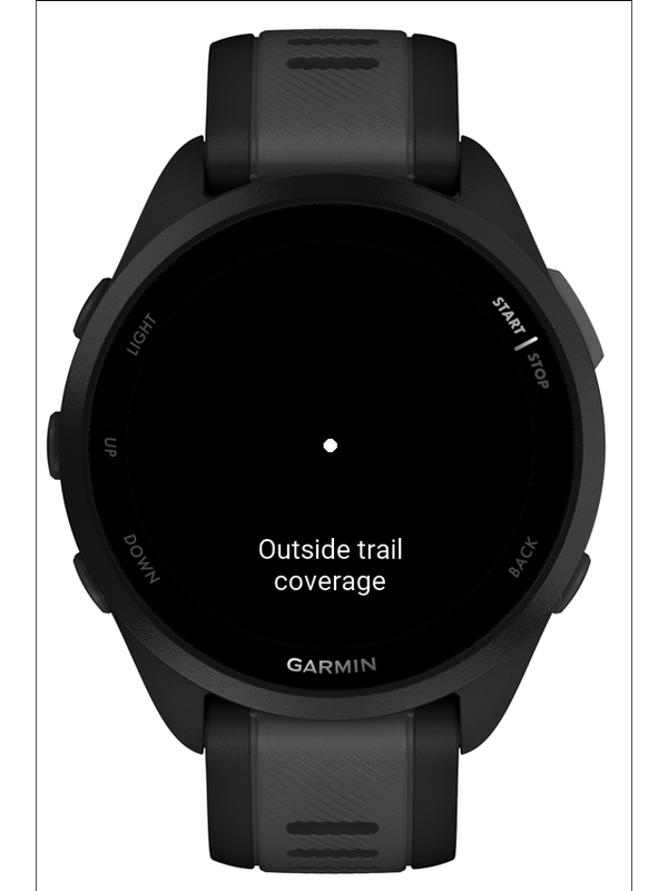
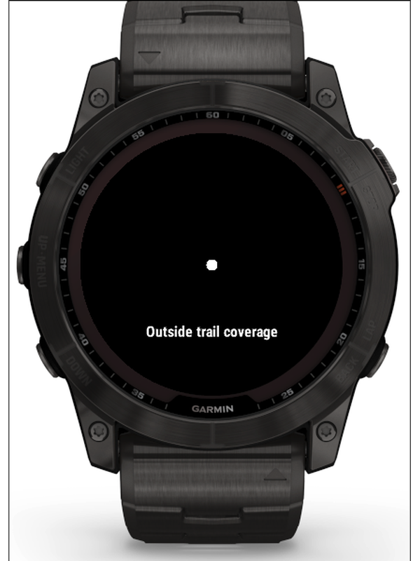
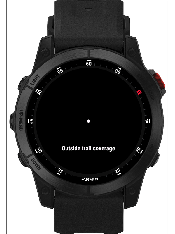
Outside trail coverage
GPS is working, but your position is outside the area we have trails for.
Coverage
Version 1.1 covers the mountain belt in southern Poland: the Beskids (including the Bielsko area and Żywiec county), the Tatras, Gorce, Pieniny, Spisz, and the foothill ranges. Trails from other regions will come in future versions.
Supported watches
Garmin watches with five physical buttons (ENTER, UP, DOWN, MENU, BACK), with Connect IQ API 3.2.0 or newer.
Forerunner
165, 165 Music, 255, 255 Music, 255s, 255s Music, 265, 265s, 570 (42/47 mm), 955, 965, 970
fēnix
7, 7 Pro, 7 Pro (no Wi-Fi), 7S, 7S Pro, 7X, 7X Pro, 7X Pro (no Wi-Fi), 8 (43/47 mm), 8 Pro 47 mm, 8 Solar (47/51 mm), fēnix E
epix (Gen 2)
epix 2, epix Pro 2 (42/47/51 mm)
Enduro 3
Enduro 3
D2 Mach
D2 Mach 1, D2 Mach 2, D2 Mach 2 Pro
Descent
G2, Mk3 (43 mm), Mk3i (51 mm)
Instinct 3 AMOLED
45/50 mm, Instinct Crossover AMOLED
MARQ (Gen 2)
Athlete, Adventurer, Captain, Golfer, Carbon Edition, Aviator
Only physically tested on the Forerunner 165. Other models are verified for compile-time compatibility and API support, but not tested on real hardware.
Controls
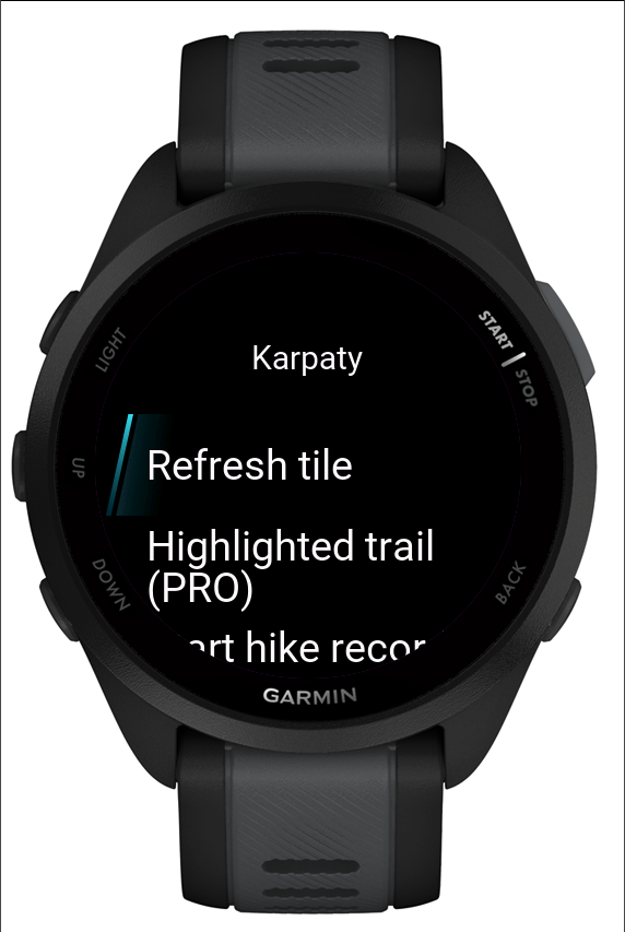
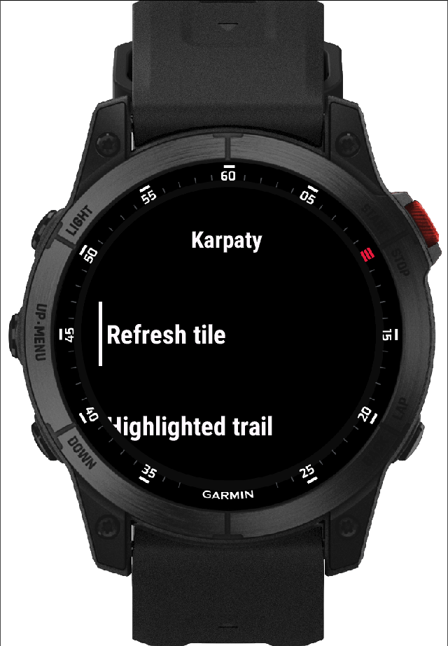
- ENTER opens the main menu (START button)
- UP / DOWN zoom the map in and out
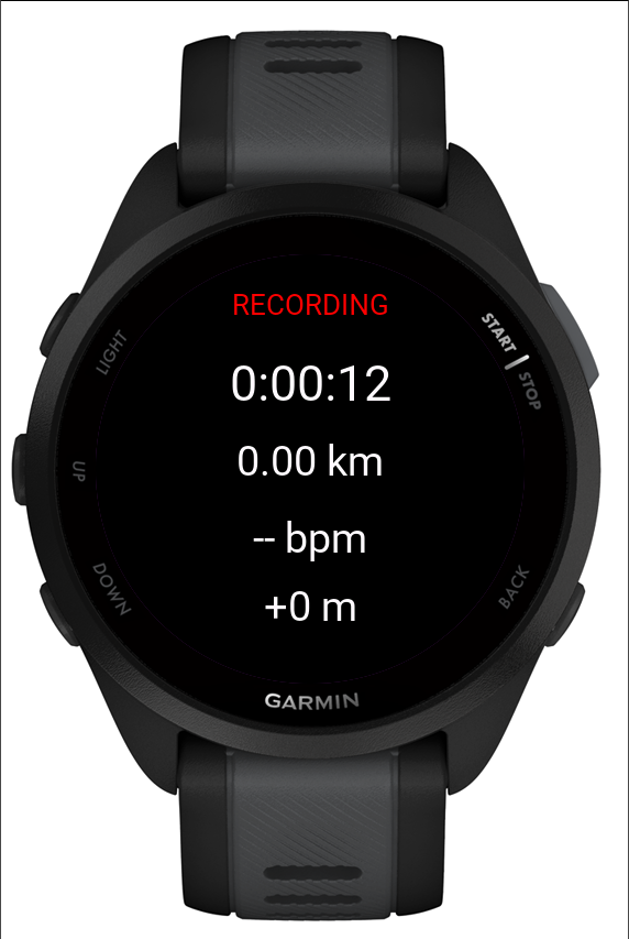
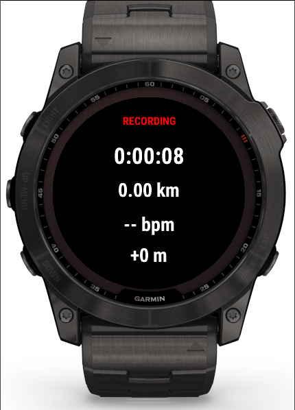
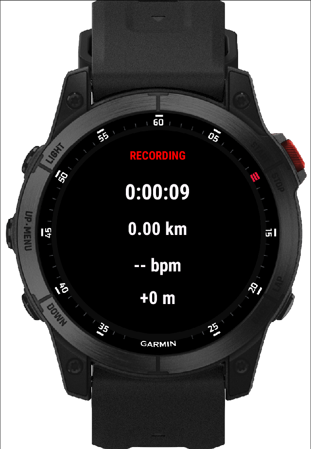
- UP held down: recording stats screen
- BACK go back
PRO features
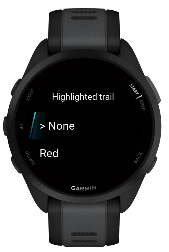
Trail highlighting and hike recording require a PRO key. Buy a key at karpaty.app, then enter it in the watch menu: Menu → Enter license key.
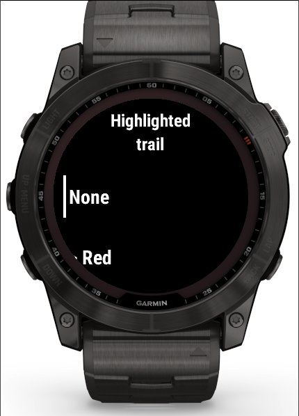
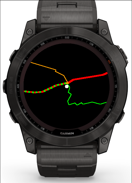
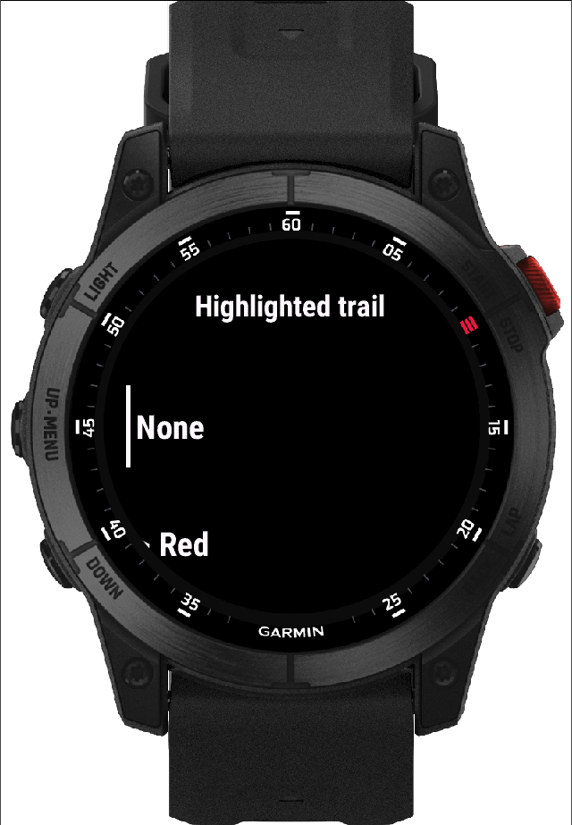
- Trail highlighting draws the chosen colour as a thicker line on the map — useful where several trails run together.
- Peaks show a triangle and elevation in metres on the highest summits of each range. Turn them off in the menu: Peaks: off.
- Hike recording saves your route to Garmin Connect (and from there, if your account is linked, to Strava). Time, distance, heart rate and elevation gain are on a separate stats screen.
Screenshots
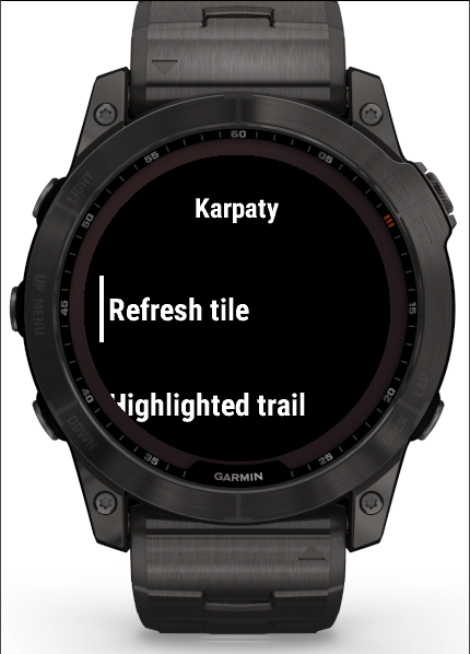
Screenshots from the Connect IQ simulator. The simulator doesn't provide real GPS, so the position on the maps is set manually near Babia Góra. On the watch, position comes from GPS.
fēnix 7X simulator screenshots
epix 2 simulator screenshots
Forerunner 165 simulator screenshots